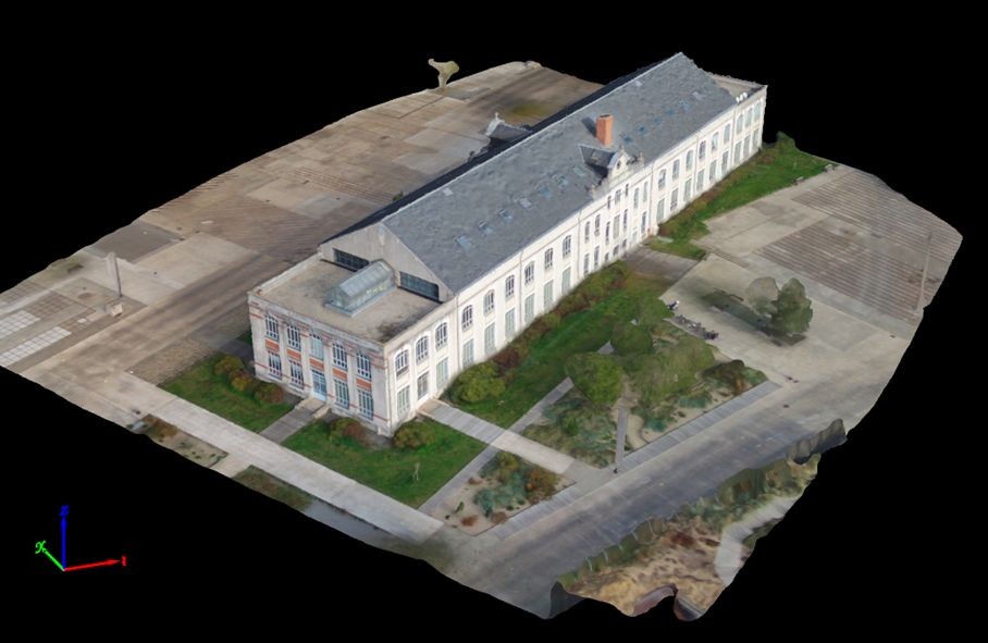
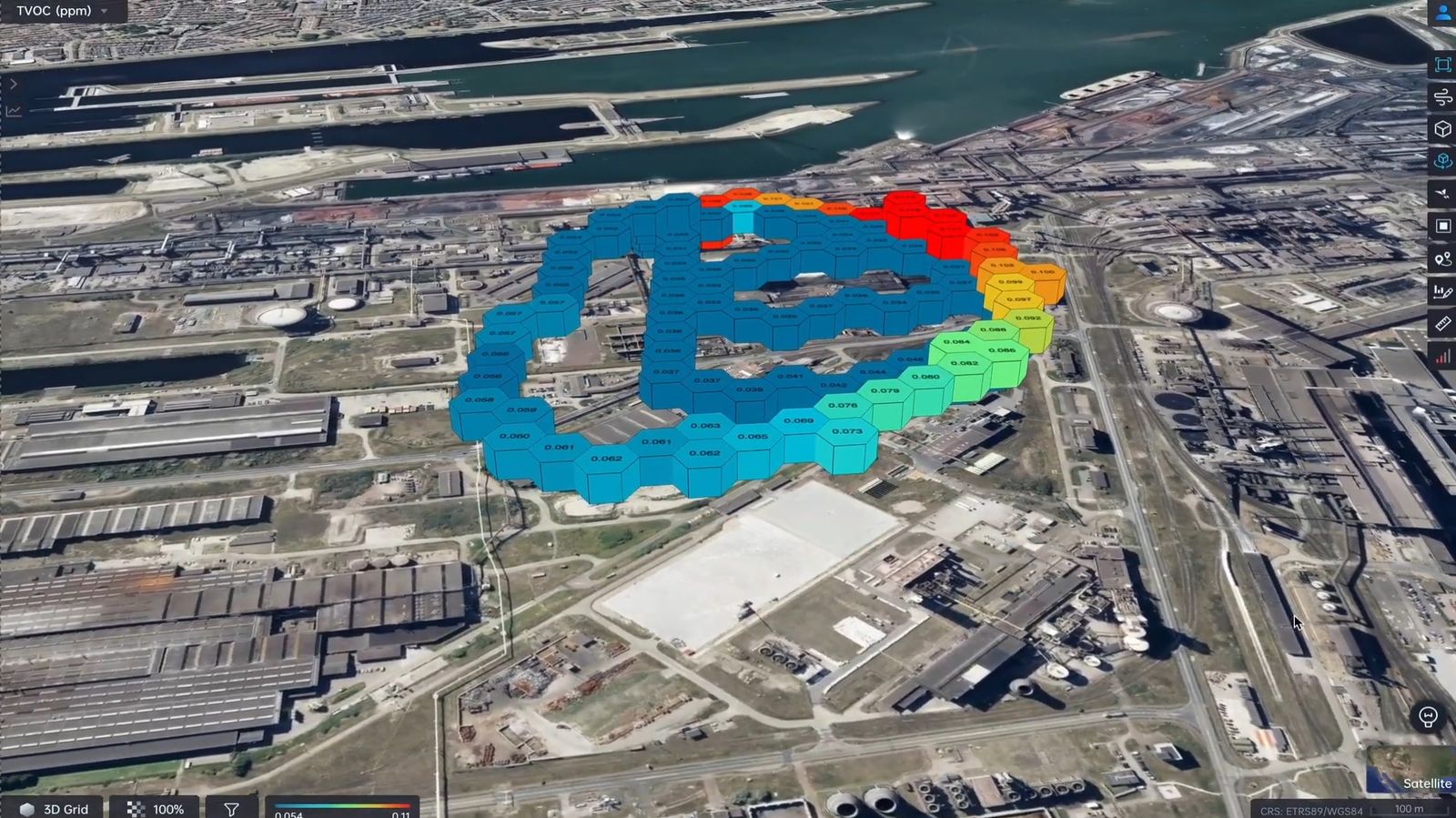
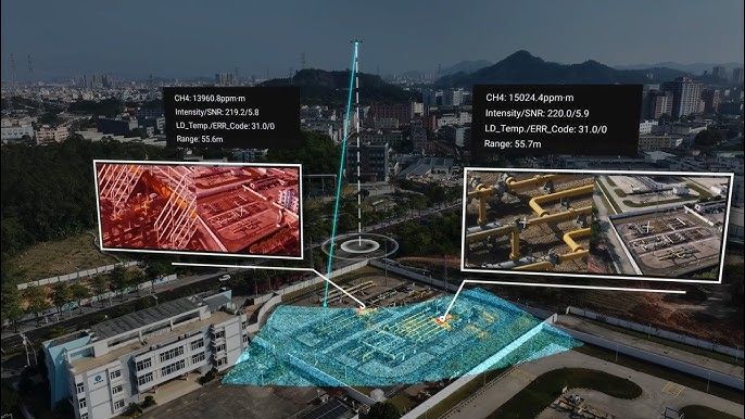
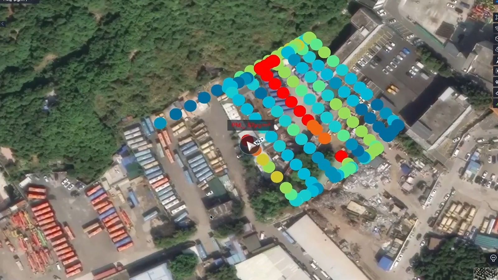
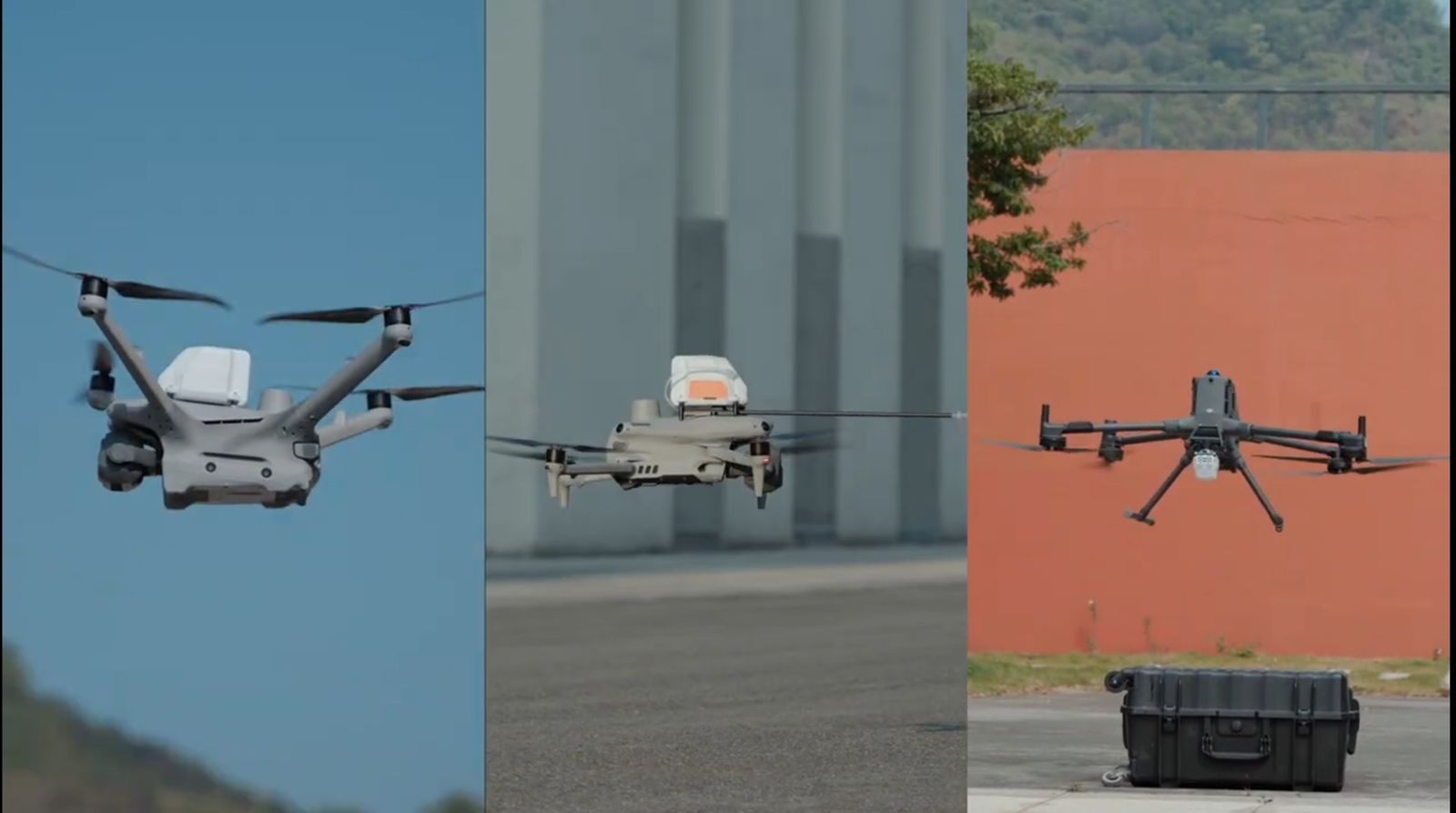
- 3D model
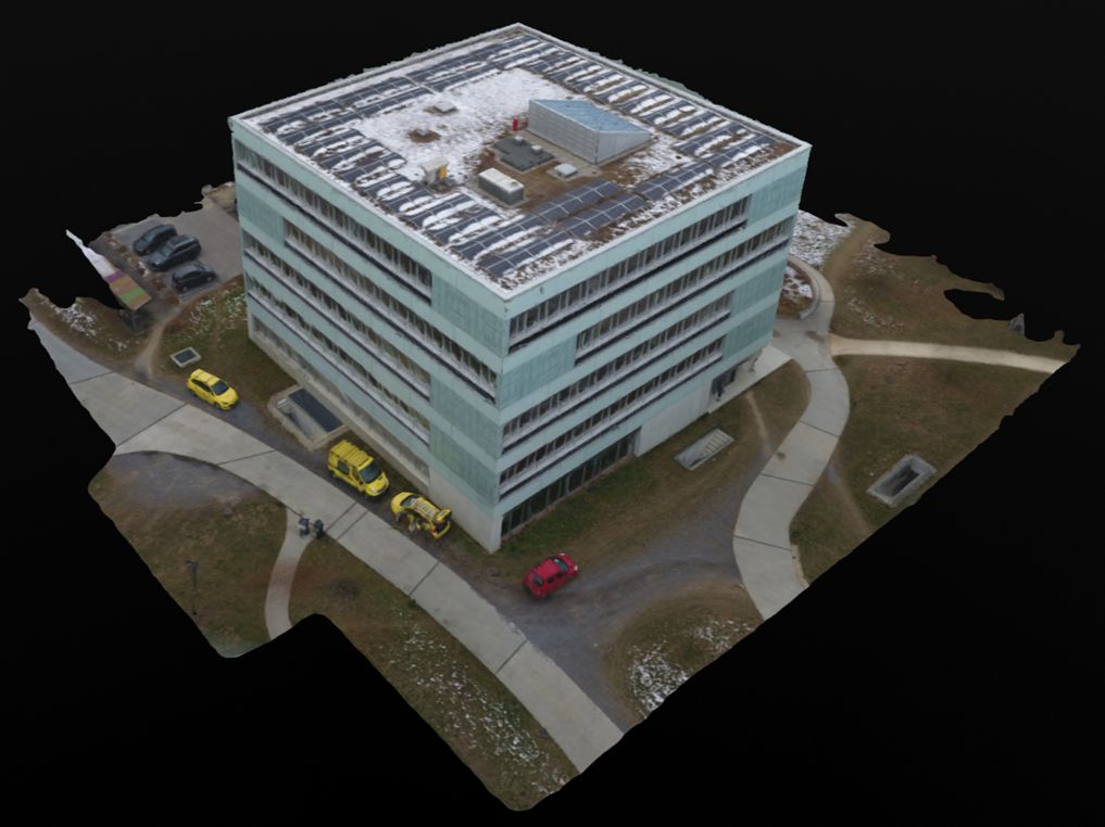
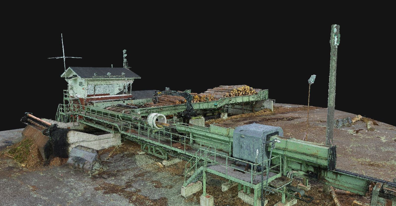
- A detailed 3D model and point cloud of the facility you can rotate, inspect and fly through on video.
- Overhead map
- One sharp, stitched aerial image of the entire site, true to scale and tied to real-world coordinates.
- Elevation & terrain
- Surface and terrain models with contour lines that show grade, drainage and low spots.
- Measurements
- Distances, areas and heights measured directly on the map or the 3D model.
- Volumes
- Stockpile, excavation and debris volumes, including how much material was removed or added.
- Cross-sections
- Vertical and horizontal slices through the site for profiles, elevations and floor plans.
- Thermal maps
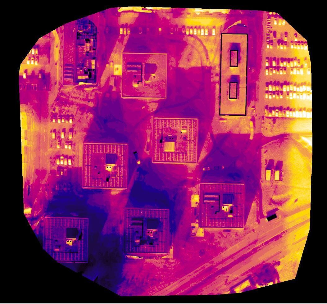
- Thermal imagery processed into maps, so hot spots are pinned to an exact location.
- Reports & files
- Clear reports with scale bars and north arrows, plus standard files your engineers can open in CAD and GIS software.